Tozhat Province
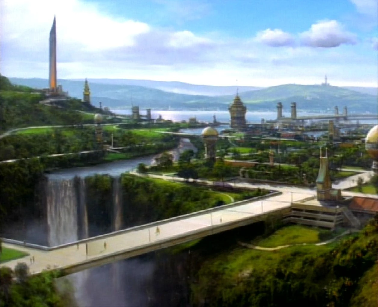
A settlement in the Tozhat Province
Tozhat Province was a Bajoran province where the Tozhat Resettlement Center was located.
In the 2360s, Kotan Pa'Dar was the exarch of a Cardassian settlement in this province during the Occupation. (DS9: "Cardassians")
In 2401, Admiral Jean-Luc Picard kept a map of Bajor's major archaeological sites in the study at Château Picard that identified Tozhat Province, including Jo'Kala and nearby archaeological sites in the region. (PIC: "The Star Gazer")
| Land formations | |
|---|---|
| Forests | |
| Rivers | |
| Geological features | |
| Districts | |
| Provinces | |
| Cities or villages | |
| Shrine or historical sites | |
Appendices
Background information
According to the script, the pronunciation for Tozhat was "to-ZAHT".
"Tohzat Province" was labeled as the northern-half of an island continent (alongside "Musilla Province") in a production map of Bajor that writer Robert Hewitt Wolfe maintained, though was absent (mislabeled as Dahkur Province) from the map derived from it for Geoffrey Mandel's Star Trek: Star Charts. (p. 42) [1](X) It was included on a map of archaeological sites created for Star Trek: Picard. [2]
External link
- Tozhat Province at Memory Beta, the wiki for licensed Star Trek works